Two will collaborate by exchanging information on damage done in war to help inform decision-making on recovery and reconstruction throughout Ukraine.
UNDP, State Service of Ukraine for Geodesy, Cartography and Cadastre sign cooperation agreement
February 9, 2024

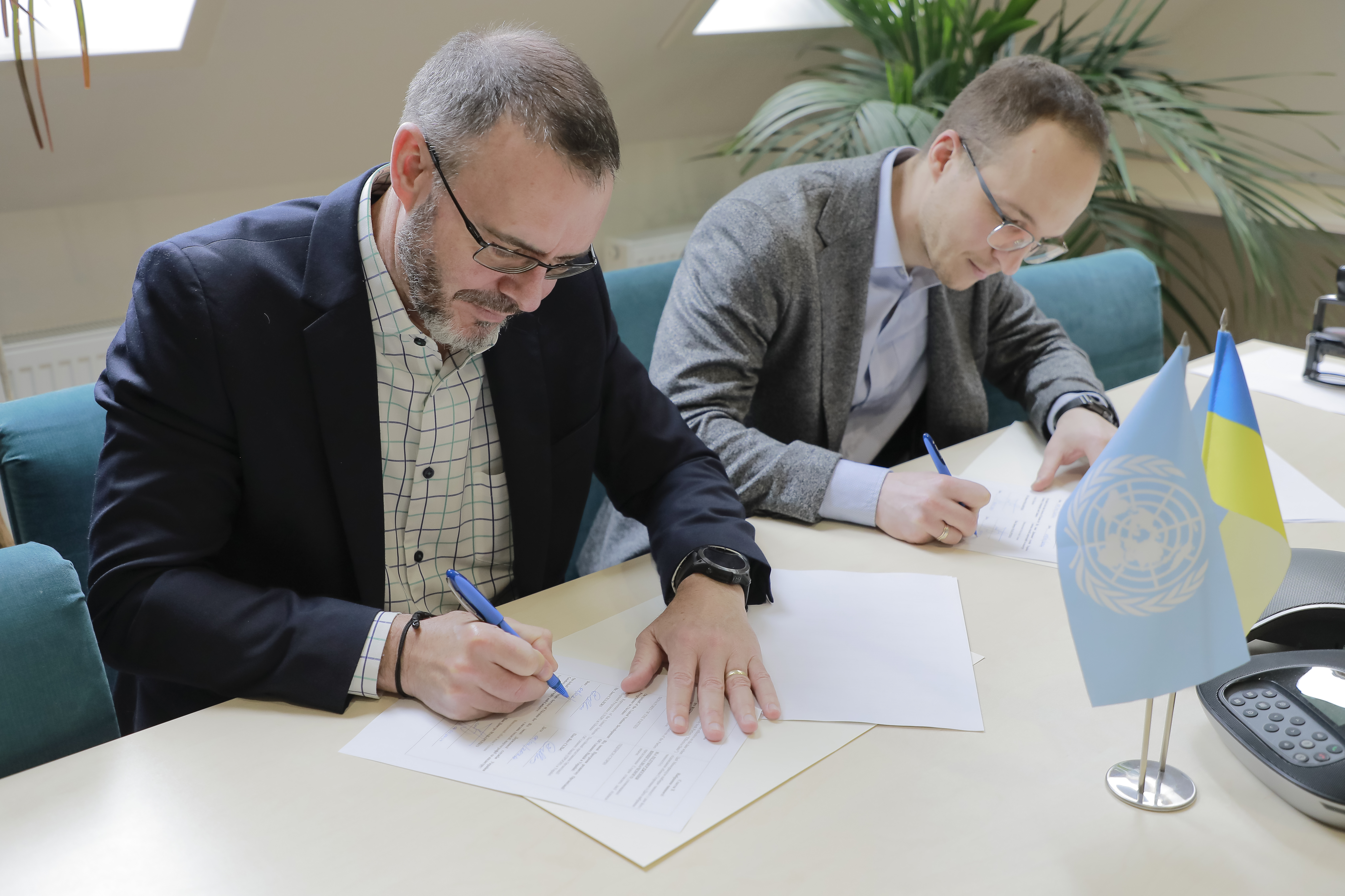
UNDP Resident Representative in Ukraine Jaco Cilliers (left), StateGeoCadastre representative Dmytro Makarenko, Acting Chairman (right).
KYIV, 9 February 2024 – The United Nations Development Programme (UNDP) and the State Service of Ukraine for Geodesy, Cartography and Cadastre (StateGeoCadastre), have announced a Memorandum of Understanding (MOU) to enhance collaboration in the field of information exchange, focusing in particular on damage assessments to support community recovery.
UNDP, under its Building Damage Assessment (BDA) project, which is funded by the Government of Germany, has assessed damage to 437 settlements, and has produced detailed digital maps of damaged and destroyed buildings. Its database already includes entries on 1.31 million buildings in Kyiv, Sumy, Chernihiv, Zhytomyr, Kharkiv, Mykolaiv and Kherson oblasts.
The BDA aims to provide comprehensive understanding of the devastation caused by the war, and to support informed decision-making for the reconstruction and recovery of the affected areas. It will integrate its data with existing platforms developed by relevant Government of Ukraine agencies, including StateGeoCadastre, to ensure there is a holistic approach to the national, regional and local recovery planning.
UNDP Resident Representative in Ukraine Jaco Cilliers said that by combining their efforts via the MoU, UNDP and StateGeoCadastre would create efficiencies by providing the state with a clearer picture of the war-affected areas:
“UNDP can provide the Ukrainian authorities with granular data – a metre-by-metre assessment of damage, down to individual buildings – which will help it accurately assess the scale of damage in settlements across the country,” Cilliers said.
“This will be invaluable for planning restoration work efficiently and effectively.”
StateGeoCadastre and UNDP’s joint efforts to support recovery planning and implementation based on reliable data will be used by relevant stakeholders at the national, regional, and local levels. Joint initiatives will be undertaken to improve bottom-up damage assessments at the community level and link them to local and central government assessments.
StateGeoCadastre representative Mr. Dmytro Makarenko, Acting Chairman, also said that UNDP’s data from the BDA would help the Ukrainian authorities gain a fuller picture of the restoration task ahead.
“Having an accurate and holistic picture of the damages at the national and community levels, it will be possible to allocate resources for restoration more effectively,” Mr. Makarenko said.
Cilliers added that UNDP is scaling up its support for evidence-based recovery consisting of establishing tools, methodologies and technical standards for damage assessment data.
“The digital methods and tools we have used to assess damage can also be used to track the recovery of specific areas of the country,” he said. “They can help Ukraine gauge where help is needed the most, and where recovery efforts are succeeding the best.”
Media enquiries: Yuliia Samus, Head of Communications, UNDP in Ukraine; e-mail: yuliia.samus@undp.org

 Locations


