A new online map will enable Hatay residents to access basic services
January 31, 2024

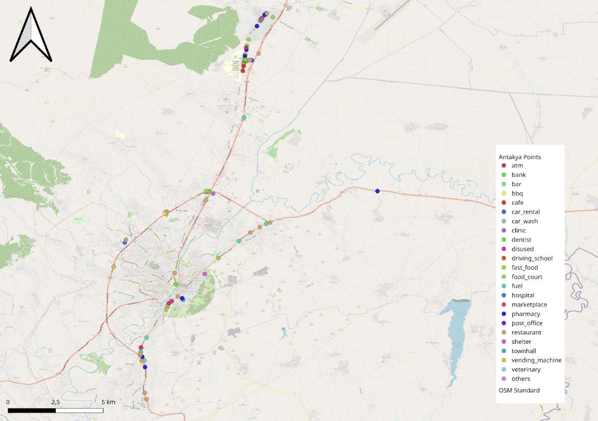
UNDP initiated a participatory mapping work in Antakya that resulted in 414 up-to-date service points marked, including health clinics, restaurants, banks and post offices
The United Nations Development Programme (UNDP) conducted a mapping initiative in the Antakya district of Hatay province in collaboration with the Civil Society Action Network (SAHA), and Hatay Metropolitan Municipality to record the up-to-date locations of institutions and businesses providing essential services. The aim is to facilitate the access of the people of Hatay to these services, and provide accurate spatial data for the use of the public, civil initiatives, NGOs, and public institutions.
As a result of the study, 414 points were marked. Among these, there are 22 service categories, including ATMs, banks, restaurants, cafes, health clinics, hospitals, marketplaces, and post offices. The mapped data is accessible to everyone and can be used as needed. The information gathered will also contribute to the recently launched Hatay City Guide application by the Hatay Metropolitan Municipality.
After the February 2023 earthquakes, demolition of damaged structures in Hatay is still ongoing. Challenges in accessing accurate information about the current locations of new urban facilities that have lost their function or changed location due to demolitions remain significant. Additionally, services provided by public institutions, international NGOs, and local initiatives related to new urban facilities, and the new locations of commercially operating businesses and gathering areas may not be sufficiently visible to everyone.
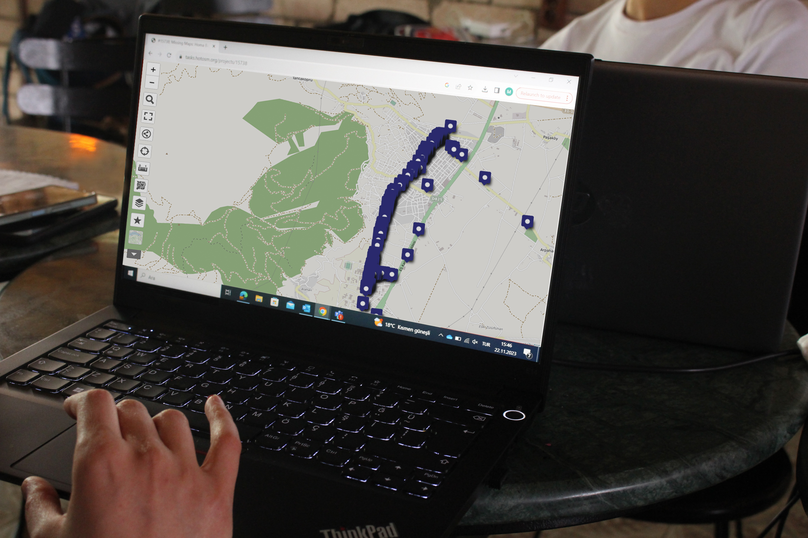
To meet this need, UNDP initiated a participatory mapping work with the involvement of local initiative representatives, covering theoretical and practical training. Following this, a 3-day program including desk work and mapping (mapathon) stages, supported by GeoPerformans' expertise, was implemented in Antakya. The study took place in the Serinyol region, which has experienced an influx of migrants from other areas after the earthquakes and has seen increased activities of many civil society organizations and the growth of commercial enterprises.
The types of services to be mapped were determined as institutions and businesses providing services in the fields of commerce, health, and education, guided by the Hatay Metropolitan Municipality. Based on this information, two main streets and side streets with the highest human mobility in the region were designated as the study area, and businesses operating in this area were recorded.

In this period where urban structure remains variable, keeping track of and recording up-to-date information about service facilities is crucial. The capacity and willingness of the local community and initiatives to meet these needs will provide significant support to the ongoing and future efforts. In the evaluation conducted with the participants at the end of the study, they expressed a better understanding of how open data applications contribute to sustainable urban development and how communities can contribute to shaping digital spaces with open software. It is hoped that mapping activities will be extended to other districts and cities to further spread the benefits.
Please click here to access the maps.

 Locations


