
 Locations
Geo-Information Systems in Decision-Making Processes
April 28, 2023
On March 28-29 a professional course was organized within the framework of the "Supporting Nationally Determined Contributions Towards Climate Risk Resilience in Armenia" project funded by the Government of Japan and implemented by UNDP in Armenia.
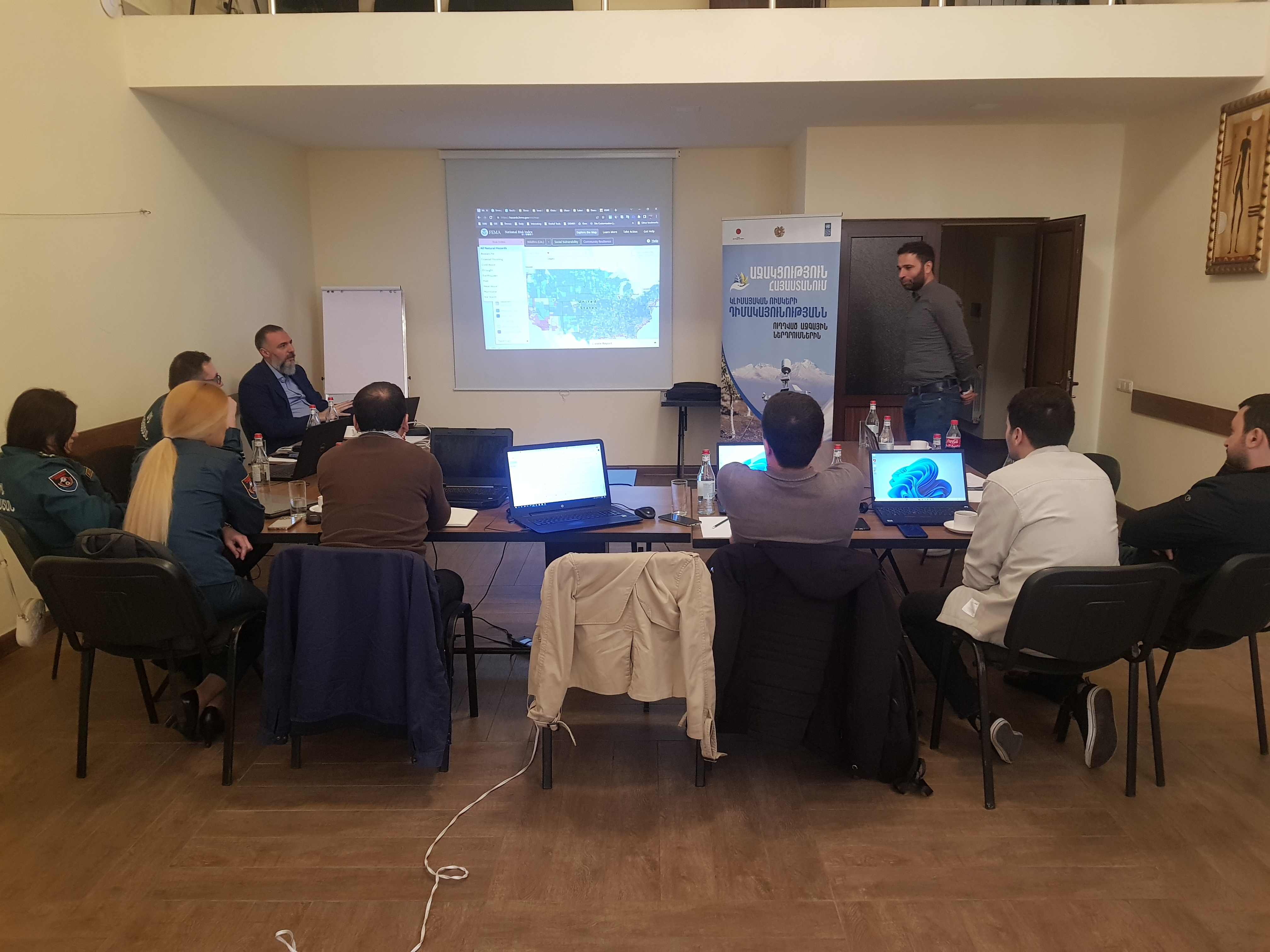
The aim of the course was to present the Disaster Risk Indexing Geographical Information System (GIS) to the GIS specialists of the Rescue Service of the Ministry of Internal Affairs, Water Committee of the Ministry of Territorial Administration and Infrastructure, Hydrometeorology and Monitoring Center of the Ministry of Environment:
The participants received theoretical knowledge about the unified GIS platform for disaster risk indexing developed within the framework of the project. Mr. Pagrat Balabanyan, specialist of the "Geovibe" company, presented the main purpose and approaches of the newly formed system, the formats of model generation based on available information, risk indexing tools and possible scenarios, as well as the possibilities of making decisions based on the information received from the platform.
Mrs. Lilit Minasyan, UNDP expert on GIS and remote sensing, and Mr. Karen Harutyunyan, GIS specialist of the "Geovibe" company, presented the basics and principles of using the "GIS Pro" program, emphasizing its capabilities especially for monitoring dangerous hydrometeorological phenomena, as well as providing appropriate analyzes and information for community level decision-making.
Through a hands-on training the participants learned how to download, validate and confirm the relevant information in the existing platform.
The problems related to the institutional system of further use of the GIS platform were also discussed during the training. It was proposed for the system to be managed by the Hydrometeorology and Monitoring Center at this stage, and later, when the functions of the National Crisis Management Center (NCMC) will be clarified within the newly formed Ministry of Internal Affairs, it will be possible to transfer the system to the NCMC. In this regard, it was emphasized that the risk indexing and regular updating process should be carried out by the disaster risk management authorities, which should provide reliable information on hazards and vulnerabilities for decision-making processes operating at different levels.
"The disaster risk indexing system and the digital platform were discussed for several years and finally we have a final product and hope that in the near future we will be able to make more effective use of this system that will be available to the professionals of the Rescue Service, not only for disaster risk reduction or monitoring, but also for effective response to emergency situations," said Tatevik Simonyan, representative of the Rescue Service of the RA Ministry of Internal Affairs.
UNDP Project Manager Armen Chilingaryan noted that such a system was created for the first time in Armenia within the framework of this project, enabling identification of the most vulnerable aspects in the community and using GIS to provide measures aimed at increasing community resilience and climate change adaptation.
The participants expressed their gratitude for the opportunity, hoping that the regular update and effective management of the platform will ensure more effective and risk informed decision-making processes.


