
 Locations
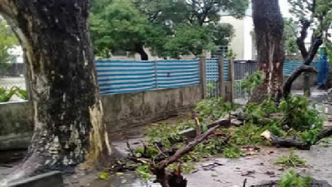
--- Image caption ---
Mozambique has been hit by a second powerful cyclone in just six weeks after being fustigated by cyclone Idai on March 14-15. Authorities are warning of "massive flooding" ahead.
On the evening of 25 April, Tropical Cyclone Kenneth made landfall in northern Mozambique, in Cabo Delgado province between the districts of Macomia and Mocimboa da Praia. Although preliminary information on impact is still incoming, the storm’s cyclonic winds were expected to reach 180 kilometres per hour prior to landfall, according to the Mozambique National Institute for Meteorology (INM).
The Cyclone is forecasted to bring heavy rains, with over 500mm of rainfall expected from 24 to 30 April, and more than 750mm possible in some locations in Cabo Delgado. As the storm comes at the end of the rainy season, river levels are already high, and several rivers are projected to increase beyond the severe alert threshold after landfall, with peak flows most likely to occur on 29 April in the region around Pemba (Mozambique). There is a high risk of flash flooding and landslides.
According The United Nations Office for the Coordination of Humanitarian Affairs (UNOCHA), this is the first time in recorded history that two strong tropical cyclones have hit Mozambique in the same season, with Tropical Cyclone Kenneth following on the heels of Tropical Cyclone Idai, which made landfall on 14 March, leaving more than 600 people dead and an estimated 1.85 million people in need in Mozambique alone.
Tropical Cyclone Kenneth is expected to become only the third satellite-era system to evolve to a moderate tropical storm stage or higher in the area north of the Mozambique Channel. The other two systems concerned, Elinah in 1983 and Doloresse in 1996, did not reach the African coast. Tropical Cyclone Kenneth therefore threatens an area where the population is not used to cyclones, UNOCHA notes.
Mozambique Government and Red Cross volunteers alerted communities in areas where the concern of flooding, erosion and landslides was particularly high and at least 30,000 people were evacuated from areas at highest-risk, according to the National Institute for Disaster Management (INGC). Flights to Pemba have been suspended and schools have been closed in the cyclone’s path. Schools are also being prepared by the Government to host people displaced by the storm.
An INGC team, led by the Director-General, has deployed to Pemba, which humanitarian partners are supporting. Humanitarian organizations have pre-positioned supplies and have additional teams on stand-by to deploy to the area.
“The rains we are forecasting will be above 100 millimeters in 24 hours, which means that some points may register urban floods and on the other hand the strong winds we predicted could have reached 180 km per hour and with gusts up to 120, have the potential to destroy many infrastructures. We must remember that in the province of Cabo Delgado we have the Quirimbas archipelago. It is also on the list of the most risky areas," said Mussa Mustafa, Deputy Director of the National Institute of Meteorology, speaking to the press on Thursday evening in the capital Maputo
“When the tropical cyclone reaches the mainland, the tendency is to lower its intensity. That's what we're predicting right now. Therefore, from April 26 that region will be under the influence of a system of low pressures as a result of the decrease of intensity of this cyclone. This low-pressure system will remain in that zone until Sunday. That means that in the coming days we will continue to have heavy rains, especially in these coastal districts of Cabo Delgado and coastal districts of the north of Nampula. This is the scenario that we will have in the next few days. The weather improvement will start on Sunday afternoon”, explained the INM Deputy Director.


