
 Locations
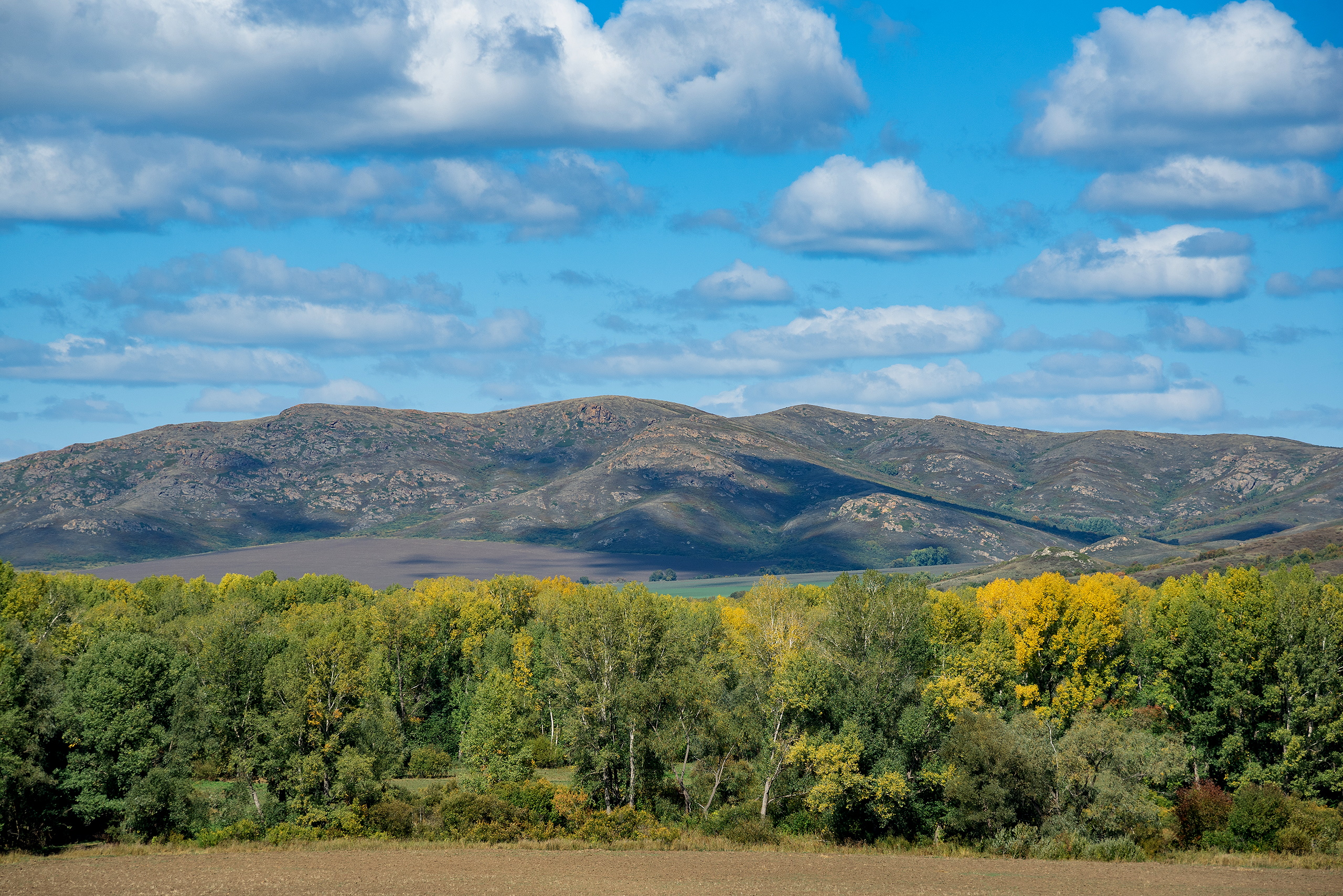
United Nations Development Programme in Kazakhstan and the Committee for Forestry and Wildlife of the Ministry of Ecology, Geology and Natural Resources of the Republic of Kazakhstan (MEGNR RK) are jointly implementing the global project "Mapping Nature for People and Planet" to identify the Essential Life Support Areas (ELSA). The project seeks to map the Kazakhstan’s areas which are essential for human life and biodiversity and ecosystems conservation, for their further protection, management and restoration.
The second online workshop was held in November 2020 with participation of the Committee for Forestry of Wildlife of the MEGNR of the Republic of Kazakhstan, Information and Analytical Center of Environment Protection, especially protected natural areas of Kazakhstan to release the results of the Project’s co-creation of the second iteration of the country’s ELSA map. The workshop acquainted the working group on national databases with the capabilities of conservation planning software such as PrioritizR, Marxan and Zonation, and also identified the data necessary to monitor progress in the Essential Life Support Areas of Kazakhstan.
This exercise is one of the first of its kind globally, noteworthy for the live engagement of national experts and scientists to develop a map that reflects national priorities and realities. This phase of the Project also contributed to building Kazakhstan’s capacities to take ownership of the project through the leadership of national institutions.
Nature is crucial for sustainable development as it provides people with essential ecosystem services such as carbon storage, food, water filtration and disaster risk reduction, helps with climate change mitigation and adaptation. Therefore, the ecosystem strategies can generate more co-benefits than other climate change adaptation strategies. UNDP cooperates with the leading scientists and public policy experts at the national and international levels to leverage the geospatial data that is available in Kazakhstan and around the world. It aims to develop a natural resource management optimization tool so that we can improve decision-making that favors conservation and sustainable development.
Essential Life Support Areas (ELSA) are areas essential for conserving the critical biodiversity and providing essential ecosystem services to humans. By using state-of-the-art tools to process geospatial data, Kazakhstan applies rigorous scientific methods to identify ELSAs based on national priorities and sets specific objectives for their protection, management, and/or restoration. This process is one of the ways that the country is working to further national and international commitments to the Convention on Biological Diversity and the 2030 Agenda for Sustainable Development
Armed with the results from this second phase, work on the project will explore how the tool and final maps can support the implementation of key projects in Kazakhstan, such as locating and addressing desertification and increasing protected areas to encompass 12% of the country.
The work underway in Kazakhstan is inspiring similar initiatives in other countries committed to identifying their ELSAs, including Costa Rica, Colombia, Peru and Uganda.
Background
The Republic of Kazakhstan embarked on the first stage of the project "Mapping Nature for People and Planet" in early 2020. Through active involvement of the United Nations Development Program (UNDP), United Nations Office for Project Services (UNOPS), Ministry of Ecology, Geology and Natural Resources of the Republic of Kazakhstan, Ministry of Agriculture of the Republic of Kazakhstan, the workshop in May-June 2020 led to the selection of 10 priority targets for Kazakhstan on nature, climate change, and sustainable development that the ELSA map will chart a pathway to achieve. The first workshop also identified national spatial datasets that were used to strengthen the robustness of the map in the second phase of the project.


