Locations
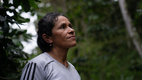
Landscapes: Peru
Peru – Ucayali and Huánuco region
Almost 60% of the national territory in Peru is covered by forest and two thirds of this area is under forest management. However, deforestation increased from 83,995 ha / year in 2001 to 137,976 ha / year in 2021 (Source: geobosques.minam.gob.pe). Approximately, 19.6 million ha are estimated to be deforested by 2050 due to the combined effect of agriculture, road infrastructure, cattle ranching, mining, hydroelectric plants, and projected urban growth. Ucayali, Huánuco, and other regions of the Peruvian Amazon are among the poorest areas of the country and have constituted one of the main hotspots of deforestation and forest degradation in the country during the last 15 years.
Since 2017, UNDP has been supporting the implementation of the Peruvian National Strategy for Forests and Climate Change (ENBCC) at landscape level in the departments of Huánuco and Ucayali in the Peruvian Amazon, supporting the management of natural resources and the incorporation of environmental sustainability criteria in productive systems. This has been done with an integrated and comprehensive territorial approach that recognizes the complexity of local livelihoods and the drivers of deforestation at the landscape scale, as well as the set of actions aimed at changes in the behaviour of the producers of the crops identified as major drivers of deforestation.
Specifically, through the Sustainable Productive Landscapes in the Peruvian Amazon Project, led by the Ministry of Environment with technical assistance of UNDP, the objective is to improve planning and governance policies and instruments to reduce deforestation and intensify sustainable production; develop financial mechanisms and market incentives that promote sustainable productive practices; and install technical capacities to rehabilitate and maintain ecosystem services in prioritized landscapes.
So far, technical support has been provided in the planning and governance process of focused landscape through the elaboration of Concerted Development Plans at regional, province, and district levels to integrate environmental criteria in planning process and building a shared vision towards sustainable development. A process of forest zoning (FZ) has been undertaken in the province of Puerto Inca, which entails the identification of forest and non-forest parts of the area and utilisation.
At community level, the project has provided support to the construction of 11 Life Plans, while strengthening capacities within indigenous organizations, empowering local leaders for plan implementation, and strengthening small entrepreneurships for expanding their access to markets. Lastly, the project is working with small producer organizations dedicated to relevant commodities in the intervention area: cocoa, palm oil, and livestock. Efforts are oriented to build capacities for product certification and the adoption of adequate technologies aimed to raise productivity, diversify production, and improve livelihoods of farmer families, while implementing environmentally friendly practices. Diverse activities such as farmer field schools, pilot and demonstration units and other hands-on methodologies are reaching 1,317 stakeholders that contribute to scaling-up and disseminating appropriate practices for sustainable landscape management.
UNDP technical assistance in this landscape is expected to last until 2024.