The Modern Technologies in the Field of Disaster Risk Management
April 20, 2023

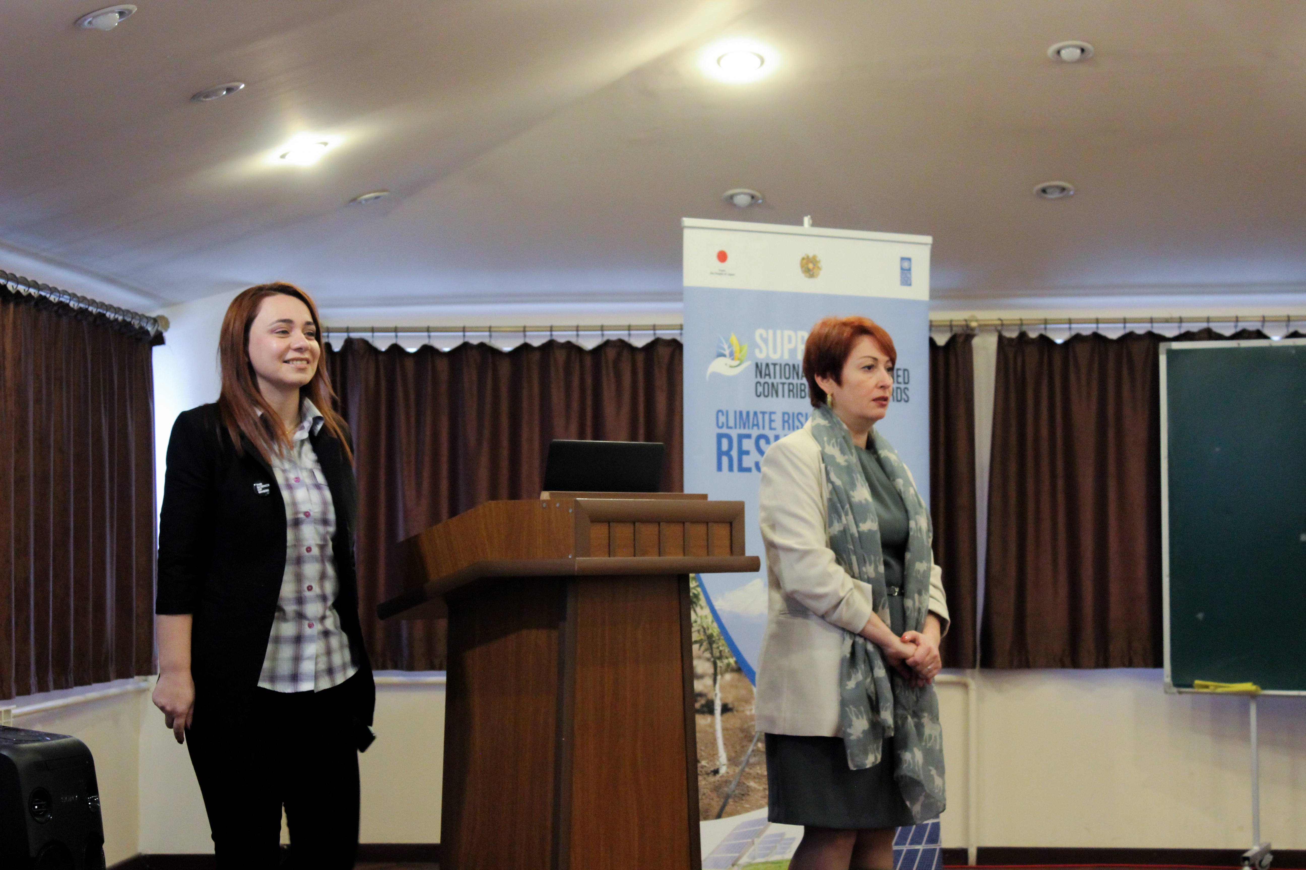
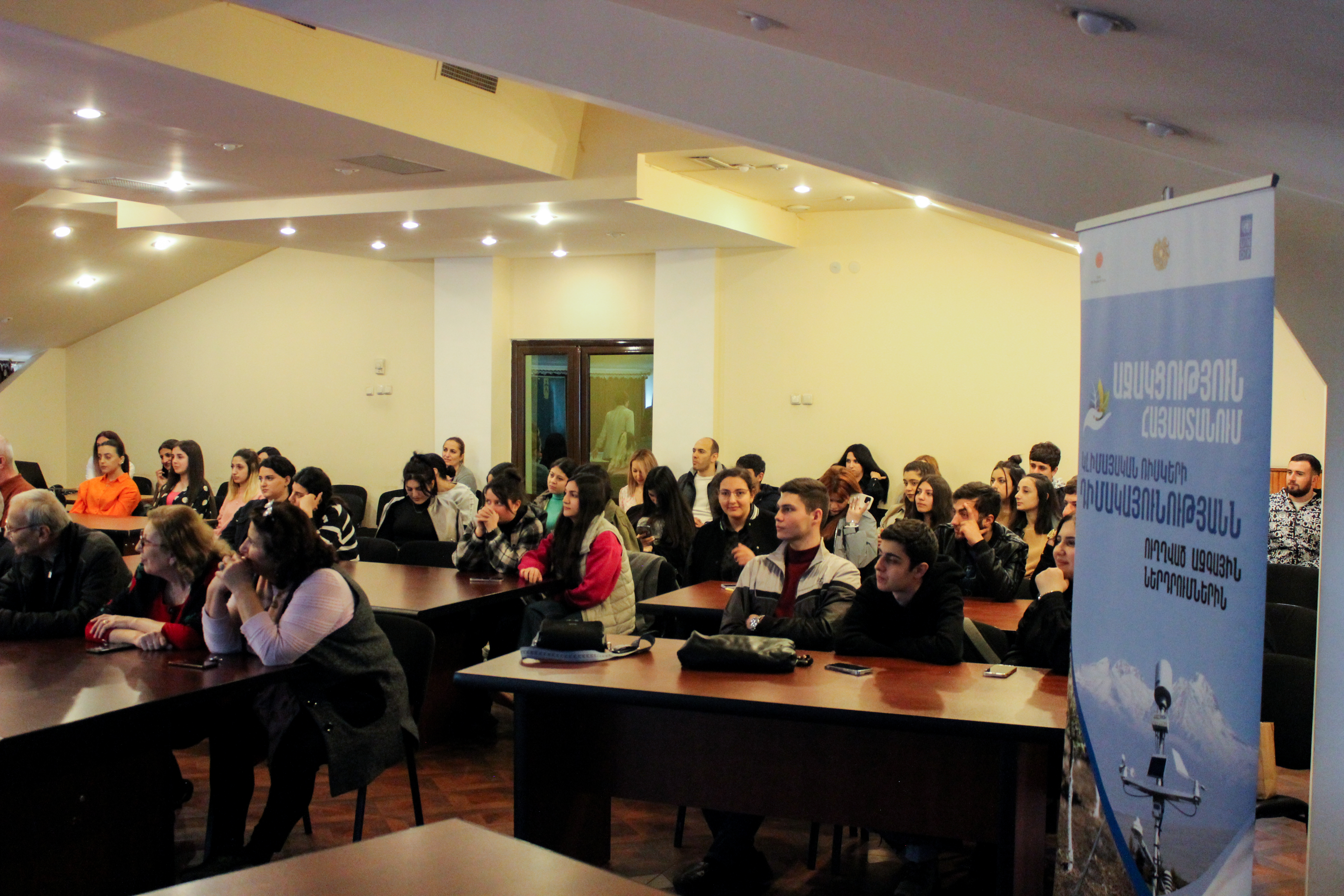
On March 17, a training course was organized for the students and the teaching staff of the Crisis Management State Academy of the Ministry of Emergency Situations to share the approaches and possibilities of using geographic information systems (GIS) and remote sensing technologies. The training was organized within the framework of the UNDP "Supporting Nationally Determined Contributions Towards Climate Risk Resilience in Armenia" project funded by the Government of Japan and implemented by UNDP.
The participants got theoretical knowledge on remote sensing technologies and their application in disaster risk management. Mrs. Lilit Minasyan, UNDP’s GIS and remote sensing expert, shared the basics and principles of using remote sensing technologies, highlighting their capabilities especially for monitoring natural hazards, as well as for providing appropriate analysis and information for decision-making at the community level. Participants also acquired skills on uploading space images from a free and accessible database using remote sensing technologies.
Current remote sensing technologies have developed to an extent that enable climatic environment studies from the space, track wildfires, calculate and analyze changes in vegetation, land cover, climate, etc. The use of remote sensing technologies also allows studying the damage caused by natural disasters, such as earthquakes, volcanoes, landslides, floods, etc. It provides access to vast amounts of information on the Earth's surface, making it an important tool to study and helping to solve problems that were out of human touch previously.
“If in the past a lot of resources and time were spent on research, today the use of remote sensing systems makes it easier, by reducing the costs to a minimum," explained Lilit Minasyan.
Colonel Armine Hayrapetyan, the Deputy Head of the Crisis Management State Academy and the National Focal Point for the implementation of the Sendai Framework for disaster risk reduction, noted that a properly motivated state system shall do everything for an effective enabling environment for disaster risk management. She acknowledged the importance of geographic information systems and remote sensing which creates endless opportunities for collecting accurate information to use in disaster risk management. "The use of modern digital technologies in our system and in everyday life is of strategic importance for Armenia. For the civil protection, we need specialists who have a thorough understanding of the country’s landscape. In this regard, the future rescuers, crisis managers and civil defense practitioners, should obtain these professional knowledges and skills," said the vice-rector.
Armen Chilingaryan, UNDP Disaster Risk Management Programme Manager, noted that the use of modern technologies makes it possible to effectively assess existing risks and to equip the decision makers with solid analysis. “Mastering these technologies is very important for professionals.And it is no coincidence that we are the first to organize this training process at the Crisis Management State Academy. In this regard, you are the future both as specialists, decision-makers and citizens," he said. Mr. Chilingaryan also added that the curriculum developed within the framework of the UNDP program will be included in the programs of the Academy and will be taught to undergraduate, master's and postgraduate students.
Mr. Jun Matsuo, Japanese expert who has joint the training within the ongoing partnership established between the Japanese OYO Corporation and UNDP, shared the Japanese experience of modeling mudslide risks with the help of the GIS system. According to Mr. Matsuo, localizing this modeling in Armenia is a very important step and can be very efficient in terms of increasing the effectiveness of population protection planning and implementation. Thus, in the event of a dam collapse, the identification of the mudflow zone will enable effectively organizing the process of developing the evacuation plans of the affected communities and the population. With this partnership the Japanese experience is being successfully presented and localized in Armenia, the sustainability of which will be ensured through integration of this module into CMSA academic programme. During the course the platform created for the three target regions was presented. Within the framework of the project, a geo-database was created, which using remote sensing technologies through digitizing and bringing it into “ESRI environment”, as well as combining the data collected during field visits and information databases available in other government institutions. Based on this it becomes possible to implement disaster risk indexing and effective monitoringby identifying the most vulnerable areas of the community and using the information system to increase community resilience, implement climate change, adaptation and disaster risk reduction


 Locations


